
SERIES 250/G and 250DB (JOG/G,1501)
| SERIES 250/G and 250DB (JOG/G,1501) International Map “IL MONDO” at scale 1:250.000 "IL FOGLIO" 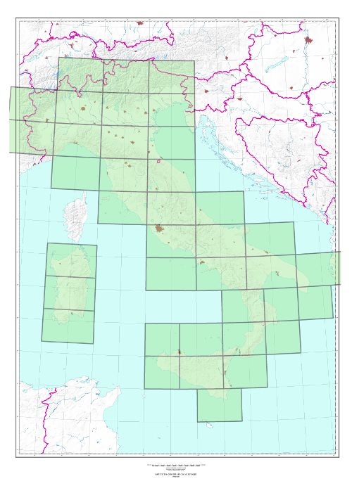 | |
|---|---|
|
|
|
|
| TYPE |
Medium scale map carried out by derivation from maps at bigger scale. |
| CHARACTERISTICS |
Roads, populated places, technological networks, vegetation, hydrography and relief are indicated. Relief is indicated by contour lines (at 100 m. intervals), elevation spots and shading. State and regional boundaries are delineated; important cities are in pink with their perimeter and town crossings.
|
| SCALE | 1:250.000 |
| FORMAT |
2° E-W (north of 40° N) by 1° N-S. |
| ELEMENTS OF THE SERIES |
Italian part consisting of 39 elements; |
| END OF THE SERIES | 4th ed. in progress |
| TILE |
Series 250/G: Geographic tile, based on ED50 Geodetic Reference System. |
| SPHEROID |
Series 250/G International. |
| PROJECTION |
Transverse Mercator. |
| KILOMETRIC GRID | UTM based on ED 50 System |
