Skip to content.Skip to navigation

SERIES 1.000 (1301)

SERIES 1.000 (1301)
International Map “IL MONDO” at scale 1:1000.000
"IL FOGLIO"
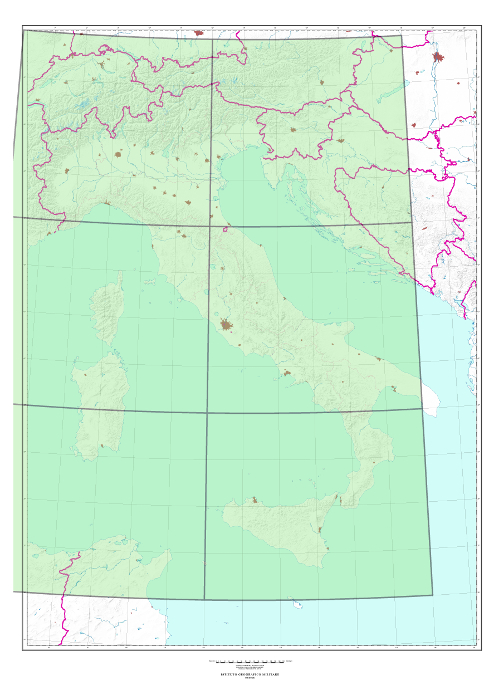
Immagine 26x26 per link riguardanti l'acquisto di prodottiBuy it: Geoprodotti

Grigio, 26x26 How to: How to use the geographic search engine and How to buy printed cartography

TYPE

Colour Map produced by the ex GSGS (Geographical Section General Staff), currently DGC-UK.

CHARACTERISTICS

Heights in metres - metres to feet conversion scale included.
Relief is shown by contours and hypsometric tints; different intervals according to colours.
State, Region and Province boundaries are delineated.
Small inhabited centres are indicated by small circles.
Perimeter is delineated for bigger cities and it is highlighted, by a thin red net. Red halftone inside the perimeter.
Inhabited centres and roads are classified according to their importance.
Railway network is in black.
Airports are in red.
A glossary of the different spoken languages is included when foreign territories are described in the sheets.

SCALE 1:1.000.000
FORMAT

6° E-W by 4° N-S;
Mean coverage about 220.000 sq. Km

ELEMENTS OF THE SERIES   6 sheets; all available
END OF THE SERIES Production and updating ended in 2014.
TILE Geographic tile, based on Greenwich meridian
SPHEROID

Clarke 1880 (modified).

PROJECTION

Polyconic projection (modified).

KILOMETRIC GRID UTM 
Message