Skip to content.Skip to navigation

IGMI SHOP

Ufficio vendite IGM

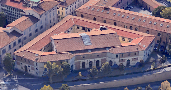
Viale F. Strozzi, 10 - 50129 Florence
(near the Fortezza da Basso main entrance)

Opening hours
- from Monday to Thursday: 8:45 a.m. – 12:30 a.m. and 1:45 p.m. – 2:45 p.m.
- Friday: 8:45 a.m. – 12:30 a.m. 
- Saturday, Sunday and public holidays: closed

Cartography

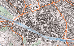
The official cartographic production has been gathered in a cartographic portfolio. Maps are classified  by ” series” according to the different scales, which are mainly small and medium.

The following products are for sale:

Aerial photographs

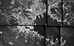
Aerial photographs of Italy, taken starting from 1939 are available. 

Old Maps

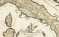
Explore the IGMI rich cartographic heritage. More than 19,000 maps are for sale

Toponymy

Standardization of geographical names

Italian Military Geographic Institute

The Italian Military Geographic Institute (IGMI) is the Army’s geographic supporting office. It is also the National Cartographic Authority according to the law n° 68/1960 and therefore the high quality cartography, produced by the institute and used by both public and private entities, is considered the official state cartography. In 1861, after the Italian unification, the IGMI began its activity as the Topographic Office of the Italian Army Staff, inheriting traditions and experiences from the topographic offices of three pre-Unitarian states: the Kingdom of the Two Sicilies, the Kingdom of Sardinia and, of course, the Grand-Duchy of Tuscany. It was moved from Turin to Florence in 1865, it became the military topographic office in 1872 and ten years later it was named Italian Geographic Institute.

IMGI main activities are:

  • Production, updating and sale of medium and  small- scale cartography;
  • High-resolution photogrammetric measurement of Italy;
  • Set up and management of a geographic database;
  • Maintenance, measurement and benchmarking of the state borders;
  • Conservation of the National cartography. 

Personnel  working at the Institute are involved in peacekeeping operations.

Notizie

FIRENZE DEI BAMBINI - 2024 EDITION

The Magnetic Map of Italy - 2020.0

Earth Technology Expo 2023

Geodetic elements

homePageGeodetica

Geodetic elements are the scientific precondition to any measuring of the ground. The following elements can be purchased by technical users.

More info are available on the site http://37.207.194.154/index.php

Verto On Line

Verto on line

Coordinate conversion between the most commonly used reference systems - Roma40 ED50 and ETRS89 – can be done for free.  

Meeting and teaching rooms

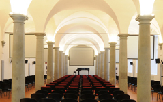
Meeting and teaching rooms are available for events, meetings, congress and training courses.  

Notizie

FIRENZE DEI BAMBINI - 2024 EDITION

The Magnetic Map of Italy - 2020.0

Earth Technology Expo 2023

Message